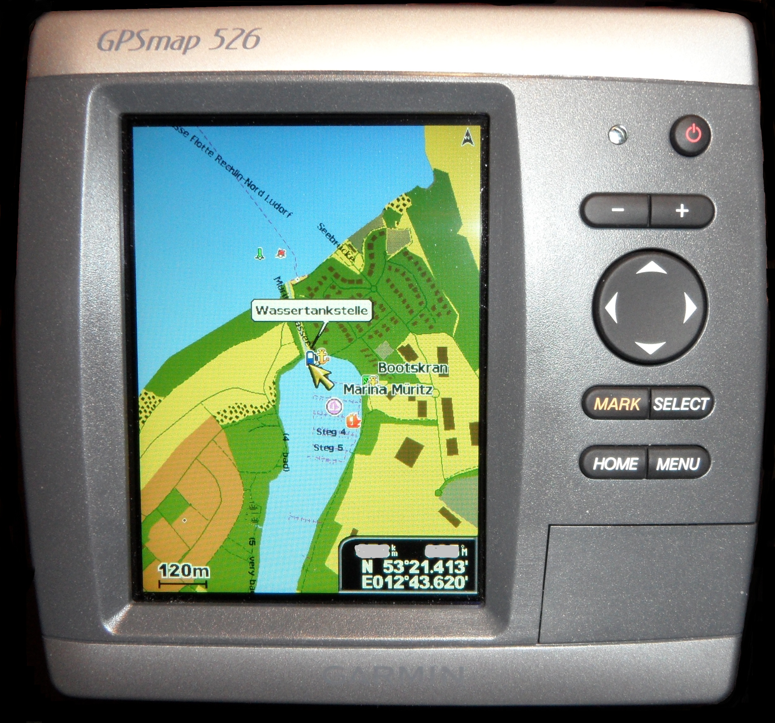
Best Marine GPS for Small Boats & Sailboats
Most sailors buying their first marine GPS are choosing between a small fixed-mount chartplotter, a combo fishfinder/GPS, and a handheld backup — often all three over the life of a boat. This guide focuses on entry-to-mid-range units suited to boats under about 35 feet, where budget, small console space, and power draw matter as much as raw features. If you're outfitting a larger cruising boat with a full networked electronics suite, see our best chartplotters guide instead.
Our top pick for most small sailboats is the Garmin ECHOMAP UHD2 43cv — real preloaded coastal charts, a genuinely sunlight-readable screen, and CHIRP sonar in a package that fits a small console, typically around $350–$450. If you're navigating an unpowered dinghy or need an independent emergency backup, the floating Garmin GPSMAP 79sc handheld is the one to grab. Below we compare all seven picks with the tradeoffs that actually matter at the helm.
Sailboat Atlas may earn a commission from qualifying purchases made through links on this page, at no extra cost to you.
Fixed-mount vs. handheld marine GPS
A fixed-mount unit is wired to the boat's 12V system and usually to an external GPS antenna or an internal patch antenna with a clear view of the sky. It gives you a permanently mounted, larger screen with a real chart, and on most modern units, an integrated depth sounder. This is the right primary navigation tool for any boat you use regularly.
A handheld runs on its own batteries, is fully independent of the boat's wiring, and is typically waterproof or floating. It's not meant to replace the primary plotter — it's the backup that still works after a lightning strike, a dead house battery, or a swamped cockpit, and it's what you grab if you ever have to abandon ship. Boats that go offshore or any real distance from help should carry both.
Choosing by use case: which type fits your sailing
Dinghy and tender exploring. A floating handheld or a cheap GPS/sonar combo is the right tool here. You're sounding out anchorages, marking the channel back to the mothership, and you need something that survives being dropped in the bilge or overboard. No charts required — waypoints, a track-back line, and depth are enough.
Trailer sailors and daysailers. A compact fixed-mount plotter with preloaded coastal charts is the sweet spot. You're doing harbor entries, unfamiliar ramps, and weekend coastal hops where seeing the chart — not just a breadcrumb line — genuinely matters. Prioritize sunlight readability and a gimbal mount you can angle from the helm.
Coastal cruisers 24–35 ft. Step up to an NMEA 2000-capable unit so the plotter can talk to a tiller or wheel autopilot and share wind and depth data. Buying a networked unit now is cheaper than replacing a standalone one a season later when you add the autopilot.
Club racing. Any of these units will time a start, but what racers actually use is the GPS-derived speed-over-ground readout and a waypoint set on the windward mark. A compact plotter you can read from the low side of the cockpit beats a bigger screen mounted out of sight.
Why sunlight-readable screens matter more than resolution
Spec sheets emphasize resolution and screen size, but the number that actually matters on a boat is how the display performs in direct summer sun at noon. Cheap LCD panels wash out to near-unreadable in bright light; marine-rated "sunlight-readable" or "SolarMAX"-style displays use higher brightness and anti-glare bonding specifically to stay legible at the helm. Optically bonded screens — where the glass is laminated directly to the panel with no air gap — cut internal reflections and also resist the fogging that plagues cheaper units after a few damp seasons.
Two practical checks before you buy. First, polarized sunglasses: many LCDs go black at certain viewing angles when seen through polarized lenses, so look at the unit in portrait and landscape orientation wearing the glasses you actually sail in. Garmin's UHD panels and Lowrance's SolarMAX displays both handle this well; some budget fishfinder screens do not. Second, viewing angle: on a tiller-steered boat you rarely sit square in front of the screen, so check that contrast holds when you're looking at it from 45 degrees off to leeward while heeled.
Night use matters too. Look for a display that dims far enough to preserve night vision and offers a red or dark chart palette — a plotter stuck at a bright minimum backlight will ruin your eyes for spotting unlit marks on a night passage.
Navionics vs. C-MAP cartography
Garmin plotters run Navionics (which Garmin now owns) or Garmin's own BlueChart data. Lowrance, Simrad, and B&G — all under the Navico umbrella — run C-MAP. Coverage and detail are broadly comparable between the two in well-charted areas like the U.S. coast and Europe; differences show up more in remote or less-surveyed cruising grounds, where it's worth checking user reviews for your specific region before committing. Whichever brand of plotter you buy effectively decides your charting ecosystem, since switching brands later means re-buying chart licenses.
GNSS accuracy and why multi-constellation matters
All modern marine GPS units use GNSS receivers that can track GPS (US), GLONASS (Russia), and increasingly Galileo (EU) satellites simultaneously rather than GPS alone. More satellites in view means a faster initial fix and a steadier position, particularly useful close to shorelines, bridges, and marinas where buildings and rigging can block or reflect signals. Basic accuracy for consumer marine GPS is typically in the 3–5 meter range — plenty for piloting and anchoring, but not survey-grade.
Power draw and running a GPS off a small battery
Compact combo units typically draw roughly 0.5–1 amp at 12V, which makes them easy to run off a small dedicated battery, a portable jump-pack style battery box, or a modest solar panel on a boat with no engine-driven charging. Do the arithmetic before you buy: a 0.5A plotter left on for a twelve-hour day sail uses about 6 amp-hours, so a 50Ah battery run to a sensible 50% depth of discharge carries roughly four days of navigation before it needs charging — before you add a VHF, tricolour, and phone charging.
Larger screens are where the budget goes. A 9-inch networked plotter closer to 1.5A pulls around 18Ah a day, three times the small unit, and running sonar continuously or feeding a radar module pushes it higher again. Backlight level is the single biggest variable you control — a screen at full brightness in daylight can draw double what it does dimmed at night, so on a small bank it's worth turning it down or putting the plotter on standby between fixes rather than leaving a chart page lit all afternoon.
Wire the plotter to its own fused circuit rather than piggybacking on the sounder or VHF feed; voltage sag on a shared run is a common cause of plotters rebooting when the engine cranks. See our marine solar panel guide and solar sizing guide if you're planning to run electronics off solar on a boat without shore power.
Mounting a plotter on a small boat
Small-boat consoles rarely have the flat real estate that a 30+ ft boat's helm pod does. Most compact plotters ship with a gimbal bracket that lets you angle the screen for visibility and swing it out of the way when not in use — useful on a tiller-steered boat where the helmsman's position shifts constantly. Mount the unit where it's shielded from direct spray and where the transducer cable and power wiring can run without chafing against moving rigging or the tiller arm.
For the transducer, a transom-mount puck is the simplest retrofit on an outboard-powered small boat; through-hull transducers need more planning and are usually reserved for boats getting a permanent below-the-waterline installation.
Basic NMEA connectivity: what small-boat sailors actually need
Entry-level units typically speak NMEA 0183 only — enough to feed heading and position data to a basic tiller autopilot, or to output data for logging. NMEA 2000 is a step up: a networked backbone that lets a plotter, depth sounder, wind instrument, and autopilot all share data over one cable run. If you plan to add an autopilot or additional instruments down the road, it's worth budgeting for an NMEA 2000-capable unit from the start rather than buying twice. See our autopilot guide for how that networking decision affects autopilot choice.
Our picks
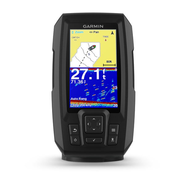
Garmin Striker Plus 4
Best budget GPS/sonar combo for small boats
The Striker Plus 4 isn't a chartplotter in the usual sense — there's no coastline or chart data preloaded, just a GPS position, track history, and sonar. For a small outboard skiff, a dinghy used for exploring anchorages, or a backup unit stowed in a cockpit locker, that's plenty. It answers 'where am I, where's home, and how deep is it' cheaply and reliably. If you need real cartography, step up to an ECHOMAP or HOOK Reveal instead.
- Screen
- 4.3" sunlight-readable color display
- Charts
- Built-in Quickdraw Contours; no preloaded cartography
- Sonar
- CHIRP traditional, 77/200 kHz transducer included
- Power draw
- Under 1A at 12V; runs off a battery-box or tender battery
Pros
- Cheapest way to get a real waypoint-and-track GPS plus depth on a dinghy, tender, or daysailer
- Quickdraw Contours lets you build your own bathymetric maps of a home cruising ground for free
- Small footprint mounts on a swing arm or bulkhead where a full chartplotter won't fit
Cons
- No preloaded coastal cartography — you're navigating by waypoints and track lines, not a chart
- No NMEA 2000 networking; it's a standalone unit, not part of an instrument system
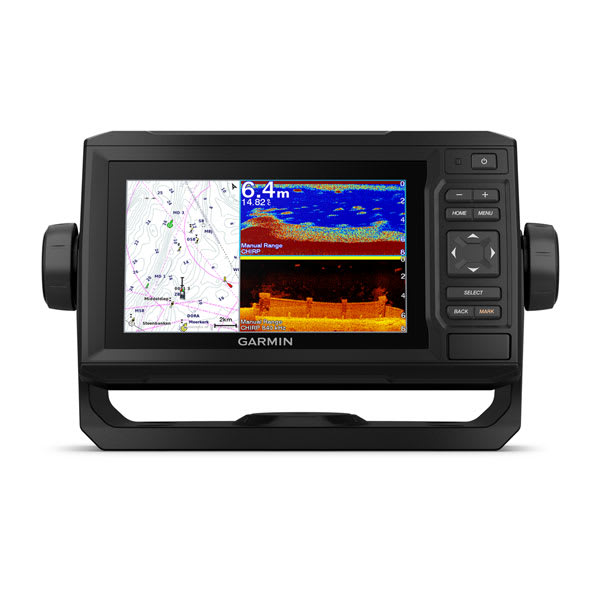
Garmin ECHOMAP UHD2 43cv
Best small-boat chartplotter with real charts
This is the size and price point most small-boat and trailer-sailor owners land on. It has an actual chart on screen — not just a track — plus a real sonar transducer for depth and structure. Buying the optional Navionics+ card for your cruising region is worth the extra cost; the preloaded base charts are usable but thin on harbor and marina detail. See our full <Link to="/guides/best-chartplotters">chartplotter buyer's guide</Link> if you're comparing larger fixed-mount units for a bigger boat.
- Screen
- 4.3" UHD sunlight-readable touchscreen, 480 x 272
- Charts
- Preloaded US coastal maps; supports Garmin Navionics+ cards
- Sonar
- Built-in CHIRP ClearVü with included transducer
- Networking
- NMEA 0183 in/out; no NMEA 2000 gateway on this size
- Power draw
- Roughly 0.5A at 12V with backlight up; about 6Ah over a 12-hour day sail
Pros
- Real preloaded coastal cartography plus a card slot for detailed Navionics+ in your cruising area
- UHD display is genuinely readable in direct sun, unlike many budget screens
- Compact enough for a 22–30 ft boat's console without eating the whole helm
Cons
- 4.3" screen is tight for split-screen chart plus sonar view
- Touchscreen can be fussy with wet or gloved fingers compared to a keypad unit
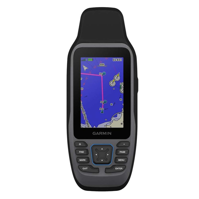
Garmin GPSMAP 79sc
Best floating handheld GPS for backup navigation
Every offshore-capable boat should have a battery- or AA-powered handheld GPS stowed with the ditch bag, independent of the boat's wiring. The 79sc is Garmin's marine-specific handheld: it floats, it's waterproof, and it takes the same BlueChart cartography as the fixed-mount units so the display isn't a total surprise if you've used a Garmin plotter before. It's not a primary navigation tool for daily use — it's the thing that still works when the primary system doesn't.
- Screen
- 3" sunlight-readable color touchscreen
- Buoyancy
- Floats face-up if dropped overboard; IPX7 rated
- GNSS
- GPS + GLONASS + Galileo for faster fix and better accuracy
- Battery
- AA batteries or optional rechargeable pack; roughly 18 hours
- Power draw
- None from the boat; two AA cells cover a full weekend of intermittent use
Pros
- Floats — the single most important feature in a handheld you'll use in a dinghy or liferaft
- Fully independent of the boat's electrical system; keeps working after a total power failure
- Preloaded worldwide basemap plus BlueChart g3 coastal chart support via microSD
Cons
- Small screen makes detailed chart reading slower than any fixed-mount unit
- AA-battery models are bulkier than a phone; rechargeable version needs its own charging discipline
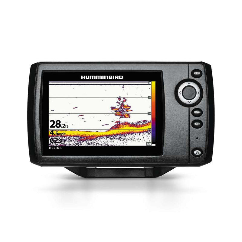
Humminbird HELIX 5 CHIRP GPS G4
Best value for anglers who also daysail
The HELIX 5 is aimed at anglers, but it works perfectly well as a basic small-sailboat plotter — GPS position, track, waypoints, and a real sunlight-readable screen for a price well under most sailing-branded units. If you already run other Humminbird gear, or fishing is genuinely part of your sailing life, the strong sonar imaging tips the value in its favor over a Garmin or Lowrance at the same price.
- Screen
- 5" WVGA color display
- Charts
- Preloaded Humminbird Basemap; supports LakeMaster/CoastMaster cards
- Sonar
- Dual Spectrum CHIRP sonar with included transducer
- Mounting
- Included gimbal bracket fits most small-boat consoles
- Power draw
- Well under 1A at 12V; comfortable on a single Group 24 house battery
Pros
- Larger 5" screen than most units at this price, useful for split chart/sonar views
- Humminbird's sonar imaging is a genuine strength if fishing is part of why you're on the water
- Simple menu system with physical keypad works well with wet hands
Cons
- Coastal chart detail (CoastMaster) is a separate purchase, not included
- Ecosystem is smaller than Garmin or Navico (Lowrance/Simrad/B&G) if you plan to add other networked instruments later

Lowrance HOOK Reveal 5
Best sub-$500 chartplotter for coastal daysailers
The HOOK Reveal line is Lowrance's answer to the ECHOMAP UHD2 — a genuinely chart-capable plotter for a small boat that doesn't require buying a separate cartography card to be useful out of the box. For a 20–28 ft daysailer or a trailerable cruiser doing coastal weekend trips, it's one of the best value-for-money combos on the market right now.
- Screen
- 5" SolarMAX color display, 480 x 480
- Charts
- US coastal/inland charts preloaded; C-MAP Contour+ built in
- Sonar
- SplitShot or TripleShot CHIRP/DownScan transducer included
- Networking
- NMEA 0183 only on this model
- Power draw
- Roughly 0.5–0.7A at 12V running chart plus sonar
Pros
- SolarMAX display is one of the better budget screens in direct sun
- Built-in C-MAP Contour+ charting covers U.S. coastal and inland waters with no extra card purchase
- Autopilot-ready output for basic tiller pilots that accept NMEA 0183 heading data
Cons
- No NMEA 2000, so it won't join a networked instrument system later without a converter
- Keypad-free touch UI on some variants can be slow to respond with wet fingers
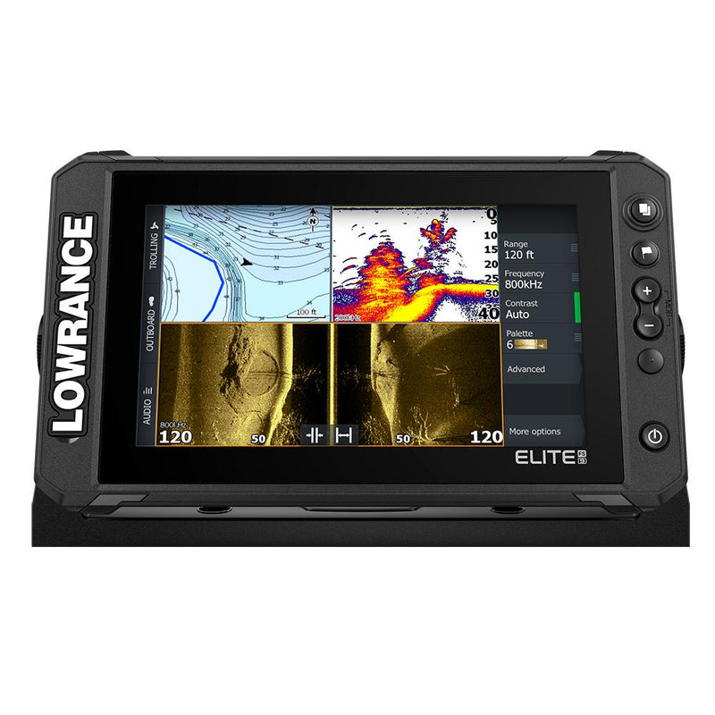
Lowrance Elite FS 9
Best mid-size step-up with networking headroom
The Elite FS 9 is the unit to buy if you're upgrading from a basic handheld or entry combo and want room to add an autopilot or radar later without replacing the plotter again. It's a step up in price from the small-boat units above it in this list, but the NMEA 2000 backbone is the difference between a standalone gadget and the hub of a real electronics system.
- Screen
- 9" widescreen SolarMAX display
- Charts
- C-MAP US Enhanced preloaded; Navionics+ and C-MAP REVEAL compatible
- Networking
- NMEA 2000 and Ethernet, unlike the entry HOOK Reveal line
- GNSS
- Internal GPS/GLONASS antenna, no external puck needed
- Power draw
- Roughly 1.5A at 12V — around 18Ah a day, enough to matter on a small bank
Pros
- NMEA 2000 backbone support means it can join an autopilot, wind, and depth network as the boat grows
- Large 9" screen is genuinely usable for split chart/radar/sonar views at a small-boat helm
- Active Imaging sonar bundle gives sharp structure and fish detail if fishing matters to you
Cons
- Meaningfully more expensive than the HOOK Reveal or ECHOMAP UHD2 43cv
- Overkill as a first GPS for a boat under 24 ft with no other electronics
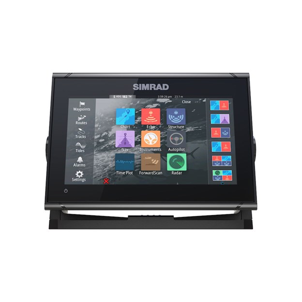
Simrad GO7 XSE
Best touchscreen option with Simrad autopilot integration
If your small boat already has, or will have, a Simrad tiller or wheel autopilot, the GO7 XSE is the natural plotter pairing — setup and route-following between the two is close to plug-and-play. The screen size-to-price ratio is good, though like all touch-only plotters it's less friendly than a keypad unit when you're wet, gloved, or the boat is bouncing around.
- Screen
- 7" multi-touch display, integrated GPS antenna
- Charts
- C-MAP DISCOVER preloaded; Navionics+ compatible
- Networking
- NMEA 2000, Wi-Fi for app pairing and updates
- Sonar
- Active Imaging 3-in-1 transducer support
- Power draw
- Roughly 1A at 12V; add more if you run radar or a sonar module off the same circuit
Pros
- Clean, fast touchscreen interface that pairs directly with Simrad/B&G autopilot computers
- 7" screen at a price close to many 5" competitors
- C-MAP DISCOVER charting is strong for coastal cruising detail
Cons
- Touch-only control is harder to use one-handed while heeled or in chop than a keypad unit
- Some advanced features (radar, weather overlay) require extra modules and cost
How to choose
| Product | Price range | Best for | Key spec |
|---|---|---|---|
| Garmin Striker Plus 4 | $130–$180 | Dinghy/tender backup | No preloaded charts, GPS + sonar only |
| Garmin ECHOMAP UHD2 43cv | $350–$450 | Small-boat primary plotter | 4.3" UHD screen, preloaded US coastal charts |
| Garmin GPSMAP 79sc | $400–$500 | Floating handheld backup | Floats, IPX7, multi-GNSS |
| Humminbird HELIX 5 CHIRP GPS G4 | $250–$320 | Anglers who also sail | 5" screen, Dual Spectrum CHIRP sonar |
| Lowrance HOOK Reveal 5 | $350–$450 | Coastal daysailer | Built-in C-MAP Contour+, SolarMAX display |
| Lowrance Elite FS 9 | $800–$1,100 | Growing electronics system | 9" screen, NMEA 2000 + Ethernet |
| Simrad GO7 XSE | $600–$800 | Simrad autopilot pairing | 7" multi-touch, C-MAP DISCOVER preloaded |
Budget tiers
Under $250: basic GPS/sonar combos with no preloaded coastal charts — fine for a tender or as a spare, not a primary plotter.
$300–$500: the sweet spot for most small sailboats — a compact plotter with real preloaded cartography and integrated sonar.
$600 and up: larger screens, NMEA 2000 networking, and autopilot integration — worth it once you're building out a full instrument system rather than buying a standalone GPS.
Related guides
 Navigation
Best Chartplotters for Sailboats
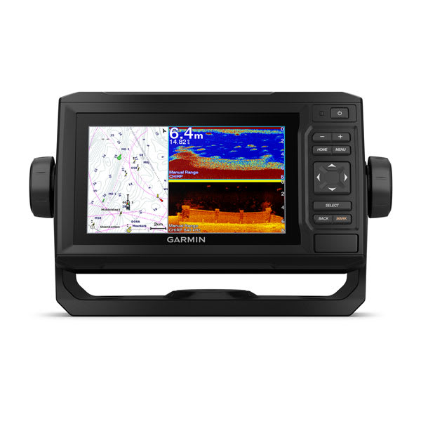
How to choose a chartplotter for cruising — screen size, charts, networking, and top picks at each budget.
 Navigation
Best Chartplotter Fishfinder Combos
Combo chartplotter/sonar units for sailboats — transducer choices, CHIRP sonar, screen sizes and top picks.
 Navigation
Best Boat Compasses: Steering and Handheld Picks
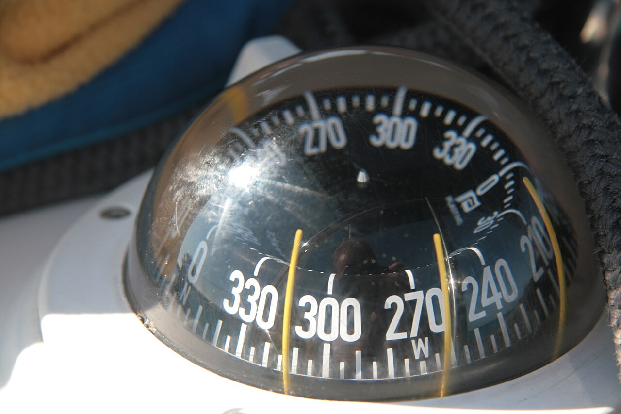
Card size, heel, mounting, lighting and deviation: choosing a magnetic compass for a sailboat.
 Navigation
Sailing Watches: Race Timers and Cruising Choices
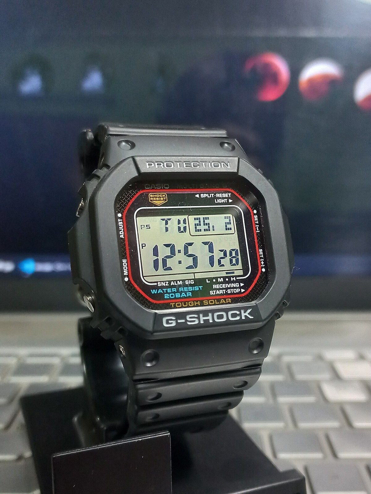
Countdown controls, water resistance, readability and battery care: choosing a practical watch for racing and cruising.
Looking for more gear guides? Browse all our gear recommendations or the full guides index.